focus_ihp-wins_map1_dpl.jpg

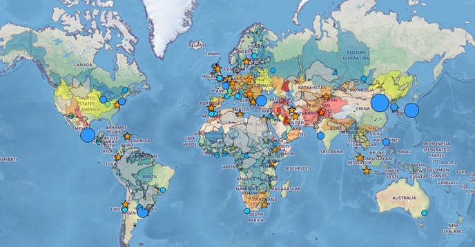
UNESCO’s International Hydrological Programme (IHP) will launch the Water Information Network System (IHP-WINS), an open access interactive database, on 31 January. With continuous updates and new data, WINS aims to become a global reference on the water cycle allowing users to create tailor-made maps incorporating information about arid zones, rainfall, transboundary water basins and irrigation.
With data from global sources such as AQUASTAT, WHO/UNICEF joint monitoring programme and UNSTAT, and other UNESCO partners, WINS will bring together as much validated information concerning the water cycle as possible. It will also feature key UNESCO programmes concerned by water-related issues, notably World Heritage, Biosphere Reserves and UNESCO Global Geoparks.
Users will be able to visualize and generate tailor-made products to meet their specific interests. WINS will moreover facilitate the exchange of data among stakeholders, interdisciplinary cooperation and the creation of networks.
The development of WINS follows on a resolution adopted by the IHP’s Intergovernmental Council in June 2016 to help Member States implement the United Nations’ Sustainable Development Goal concerning access to water and sanitation.
Media contact:
- Agnès Bardon,
UNESCO Media Section,
a.bardon@unesco.org, +33 (0)1 45 68 17 64
Related links:
- Water Information Network System (IHP-WINS)
- Watch the live launch (31 January 2017, 10:30-12:00 GMT+1)
- More about UNESCO’s International Hydrological Programme
